- Home
- LiDAR
LiDAR
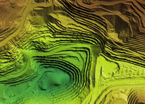
Drone LiDAR (Light Detection and Ranging) technology has become a groundbreaking tool for various aerial surveying tasks, encompassing forestry, agriculture, and construction sectors. This technology offers an innovative approach to mapping and surveying, providing results with remarkable precision.
Applications of Drone LiDAR in UK Industries
Forestry and Agriculture: In the UK, the use of drones equipped with LiDAR technology has significantly enhanced the efficiency of surveying large farm lands. These drones can quickly scan and map out vast acreages with high accuracy, proving invaluable for sustainable land management and agricultural planning.
Construction and Land Surveying: The precision of LiDAR drones is especially beneficial in construction and land surveying especially with dense vegetation. Their ability to produce detailed 3D maps is vital for planning and monitoring construction projects across the UK.

